What City Is At The Mouth Of The Loire River?
Nantes, in the Loire-Atlantique department of western France, sits at the head of the Loire estuary where France's longest river meets the tide. Here is what that means for visitors.
Nantes, in the Loire-Atlantique department of the Pays de la Loire region of western France, is the city at the mouth of the Loire River, in the sense that matters to almost every traveller: it is the last major city the Loire passes through, standing at the head of the river's wide tidal estuary, roughly 64 km upstream by rail from Saint-Nazaire, where the water finally reaches the Atlantic Ocean. France's longest river runs about 1,000 km from its source in the Massif Central, and Nantes is where its story effectively ends for shipping, history and sightseeing. The city grew rich precisely because it sits at that point, controlling traffic between the river and the sea.
What City Is At The Mouth Of The Loire River?
The city at the mouth of the Loire River is Nantes, the historic capital of Brittany and now the seat of the Loire-Atlantique department in the Pays de la Loire region of western France. Nantes sits at the head of the Loire estuary, where the river becomes tidal, with Saint-Nazaire 64 km downstream by rail at the point where the water empties into the Atlantic. In common usage and in centuries of maritime history, the mouth of the Loire has meant Nantes.
The nuance is worth spelling out. Geographers would say the literal mouth of the river, the line where fresh water meets open sea, sits off Saint-Nazaire. But for most of recorded history the Loire's mouth has been a working concept rather than a line on a map, and the city that owned that concept was Nantes. Ocean-going ships could reach Nantes on the tide, and the city's quays handled the trade of an entire river basin. When the Nantes Travel Guide site talks about the mouth of the Loire, it means this city, and so will nearly every source you read.
Two smaller rivers join the Loire right at Nantes: the Erdre, which flows in from the north through the city's parks and the Île de Versailles, and the Sèvre Nantaise, arriving from the south-east. The city is therefore a meeting point of three waterways, not just a stop on one. You can see all three converging around the Île de Nantes, the long island in the middle of the river that now carries the Machines de l'île and the Hangar à Bananes. If you want to explore the river city in a single sweep, the water side of that story is covered on the things to do in Nantes page, and the broader regional context sits in Loire-Atlantique and its department.
Why Nantes Sits At The Head Of The Estuary
Nantes occupies the head of the Loire estuary because the river, after crossing most of France, slows and widens dramatically at this point, becoming tidal before broadening into mudflats and channels over its final 64 km to Saint-Nazaire and the sea. The city's historic quays, the Île Feydeau and the Île de Nantes, all exist because of that transition from river to estuary. It is the first place upstream where the Atlantic's influence is felt daily.
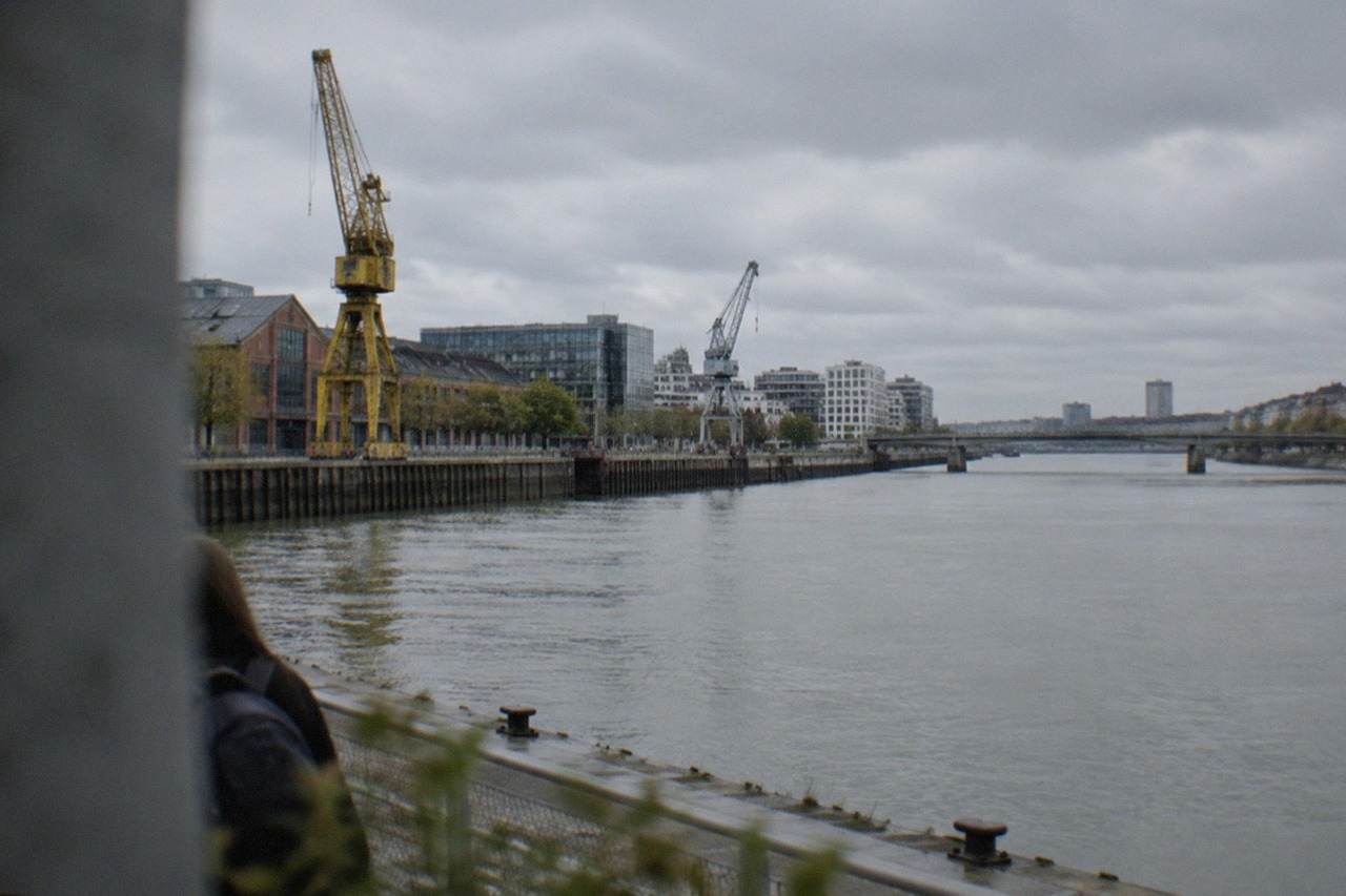
The estuary explains the city's shape. The centre is strung along the north bank, around the old port districts of Bouffay and Graslin, while the Île de Nantes stretches downriver in the middle of the water. Further downstream, the Loire passes industrial docks and the commune of Rezé, on whose south bank the fishing-village quarter of Trentemoult faces the city across the water. The river here is not the narrow, sandy Loire of the château country upstream; it is wide, brown and tidal, and it rises and falls with the sea.
The tide can be dramatic. In February 2026 the Loire reached 8.18 m at the Pont Anne-de-Bretagne in Nantes during the most significant flood in roughly three decades, the first time in about 15 years the river passed the 8-metre mark at that gauge. Low water matters too: in dry summers the estuary's sandbanks reshape the view from the quays. The water you see from the riverside is, functionally, an arm of the Atlantic that happens to be called a river.
| Waterway at Nantes | Role in the city | What you can do on or beside it |
|---|---|---|
| The Loire | Tidal estuary head, historical port artery | Walk the Quai de la Fosse and the Mémorial, cross to Île de Nantes |
| The Erdre | Northern tributary, meets the Loire at Nantes | 3-hour cruises aboard the Na Boa, walk the Île de Versailles |
| The Sèvre Nantaise | Southern tributary from the vineyard country | Navibus N2 river crossings between Trentemoult and Bas-Chantenay |
The Erdre is genuinely worth the description: a quiet, tree-lined waterway that has been crossed by river cruises for years. Those boat trips on the tributary are covered in detail on the Erdre and its riverside parks page. Between the three rivers, the city has more working waterfront than most inland French cities could dream of.
Is Saint-Nazaire The Mouth Instead Of Nantes?
Strictly speaking, Saint-Nazaire, 64 km downstream of Nantes by rail and about 33 minutes away by TER train, is where the Loire physically meets the Atlantic, so it holds the literal river mouth. But Nantes is the historic mouth of the river, the head of the estuary and the city every era of trade recognised as the Loire's port. The two answers are both true, and they describe two different points on one estuary.
The relationship between the two cities is a story in itself. For centuries, ships bound for Nantes had to pass Saint-Nazaire, which was little more than a village until the 19th century. Deep-draught vessels eventually outgrew the upstream port, and Saint-Nazaire grew into a major shipbuilding town, while Nantes moved up the value chain into trade, finance and industry. Today a day trip between the two follows the whole length of the French estuary, ending at the sea.
There is a practical takeaway for visitors. If your mental image of the Loire comes from the château country around Tours and Saumur, Nantes will surprise you: the river is wider, busier and more industrial. If your image comes from the Atlantic coast, the surprise runs the other way, because a major city of 327,734 inhabitants sits on what is essentially the last stretch of navigable river. For the wider picture of what this region offers beyond the city limits, read what the Pays de la Loire is famous for, and for the coastal end of the story see how far Nantes is from the ocean.
For travellers who want to cover the estuary properly, the train is the natural tool: the TER from Nantes to Saint-Nazaire takes about 33 minutes, and the same line continues towards La Baule, about 51 minutes away, and Le Croisic, about 1 hour 3 minutes. The Loire Valley châteaux and day trips page covers the upstream end of the same river.
Those three experiences share a thread: the walk through the old town and the riverside, the food tour of the streets behind the quays, and the Muscadet tasting, all follow the water in one form or another. Muscadet, the white wine of the Sèvre, Maine and Goulaine country just south-east of the city, only exists because the Loire estuary shaped this damp, mild corner of France. The grape is Melon de Bourgogne, the appellation sits in the hills around the Sèvre Nantaise, and the Maison des vins at Vallet is the centre of the vineyard area.
What Role Did The River Play In Nantes History?
The Loire made Nantes wealthy and infamous in equal measure. As the dominant Atlantic-facing river port of western France, the city grew rich on river-borne trade after Francis II began rebuilding the ducal château in 1466, and from the mid-17th century to 1830 it was the largest French slave-trading port, outfitting 1,714 expeditions, 43% of the French total, before withdrawing from the trade in 1830. The river carried all of it.
Begin with the older history. The château of the dukes of Brittany, whose rebuilding Francis II started in 1466, sits a few hundred metres from the north bank, and Anne of Brittany, the duchess who twice became queen of France, was born there on 25 January 1477. The union of the Duchy of Brittany with the kingdom of France in 1532 was brokered in this river city, and the Edict of Nantes was signed by Henri IV at the château in April 1598, the château's own page giving the date as 30 April. Every one of those events happened within sight of the water that carried the messages, the money and the merchant fleets.
Then came the harder chapter, which the city now documents rather than hides. The Mémorial de l'abolition de l'esclavage, on the Quai de la Fosse where the slave ships once moored, is free to visit, open daily from 9:00 to 18:00 in the cooler part of the year and 9:00 to 20:00 from 15 May to 15 September, with last access 30 minutes before closing. It closes during Loire floods, which tells you exactly how close to the water it stands. The Mémorial to the abolition of slavery page covers the site in detail.
| River-era date in Nantes | What happened |
|---|---|
| 1466 | Francis II begins rebuilding the Château des ducs de Bretagne |
| 1532 | Union of the Duchy of Brittany with the kingdom of France |
| 1598 | Edict of Nantes signed by Henri IV at the château |
| Mid-17th century to 1830 | Nantes the first French slave-trading port, 1,714 expeditions |
| 1985 | France's first modern tram line opens in Nantes |
The industrial river left its own landmarks too. The former LU biscuit factory on the Loire-side site facing the château closed as a production plant when the company moved to La Haie-Fouassière in 1986, and the building reopened on 30 December 1999 as Le Lieu Unique, the city's national theatre and arts centre. Further down, the Île de Nantes shipyards became the Machines de l'île, inaugurated on 30 June 2007, where the Grand Éléphant now sprays water along the old slipways.
Understanding the port history changes how you read the modern city, and a guided walk is the easiest way to absorb it. The Surprise Walk of Nantes with a Local is a good option if you want the river, the slave-trade history and the island explained in context, and you can Check availability while you plan.
What Can You See Along The Loire In Nantes Today?
The Loire-side sights in Nantes cluster along an easy walk from west to east: the Mémorial on the Quai de la Fosse, the historic quays and the Hangar à Bananes on the Île de Nantes, the Machines de l'île at 12 EUR per attraction full price, the Château des ducs de Bretagne near the north bank with its free courtyard and 9 EUR museum, and the Navibus river crossings that let you ride the water for a standard Naolib fare of 1.80 EUR.
Start on the water, because the cheapest river experience in the city is a crossing. The Navibus network runs normal Naolib tickets: N1 links the Gare Maritime to Trentemoult Sablières on the south bank, N2 runs from the Hangar à Bananes in Bas-Chantenay to Trentemoult, and N3 runs on the Erdre. A 1-hour ticket costs 1.80 EUR, and at the weekend the whole network is free for everyone from midnight Saturday to 23:59 Sunday, though the airport shuttle is excluded from that and always costs 10 EUR. Five minutes on the river gives you the estuary's width better than any map.
Then work the banks. The Île de Nantes holds the Machines de l'île, where the Galerie, the Carrousel des Mondes Marins and the Grand Éléphant ride each cost 12 EUR full price, 8 EUR for children aged 4 to 12, with two-attraction and three-attraction day packages at 20 EUR and 29 EUR. Note the elephant pause: there are no Grand Éléphant rides from 2 November 2026 to 28 February 2027 for maintenance. The Hangar à Bananes at the island's western tip holds bars, restaurants and the HAB Galerie, and the whole stretch faces Trentemoult's coloured houses across the water.
| Loire-side sight | Entry cost | Note |
|---|---|---|
| Machines de l'île, one attraction | 12 EUR full, 8 EUR child 4-12 | No elephant rides 2 Nov 2026 to 28 Feb 2027 |
| Château des ducs de Bretagne, courtyard and ramparts | Free | Museum inside: 9 EUR full, 5 EUR reduced |
| Mémorial de l'abolition de l'esclavage | Free | Daily 9:00-18:00, until 20:00 from 15 May |
| Navibus river crossing | 1.80 EUR standard ticket | Free Saturdays and Sundays |
| Cathedral Saint-Pierre-et-Saint-Paul | Free | Reopened 27 September 2025, works to 2028 |
For the bigger picture, the Estuaire art trail runs from Nantes down to Saint-Nazaire with 33 works on 23 sites, an outdoor gallery that uses the whole estuary as its venue. You do not need to do it all: even one or two works around the Île de Nantes and the quays give you a route that ties the river's past and present together, and the green line of Le Voyage à Nantes, about 20 km of painted trail, adds the city's public art on top.
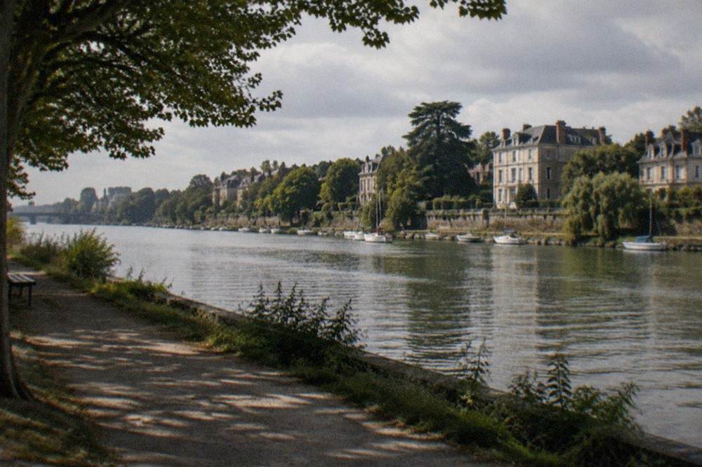
The best time for all of this follows the estuary's own calendar. Météo-France's 1991-2020 normals for the Nantes-Bouguenais station give a mean maximum of 25.4 °C in August against 9.3 °C in January, with 819.5 mm of rain spread across the year, so the riverside is at its best from late spring to early autumn, and the best time to visit the Loire Valley covers the wider region in the same terms.
Common Questions About The City At The Mouth Of The Loire
The city at the mouth of the Loire River is Nantes, in the Loire-Atlantique department of the Pays de la Loire region of western France, standing at the head of the river's tidal estuary with Saint-Nazaire 64 km downstream by rail where the water reaches the Atlantic. The questions below cover the details people ask most: whether Saint-Nazaire counts instead, how the two cities connect, and what the estuary looks like when you arrive.
What city is at the mouth of the Loire River?
Nantes, in the Loire-Atlantique department of the Pays de la Loire region of western France, is the city associated with the mouth of the Loire. It sits at the head of the river's tidal estuary, with Saint-Nazaire, about 33 minutes away by TER train, holding the literal point where the Loire meets the Atlantic Ocean.
Is Nantes or Saint-Nazaire at the mouth of the Loire?
Both, in different senses. Saint-Nazaire is where the river physically empties into the Atlantic, 64 km downstream of Nantes by rail. Nantes is the historic mouth: the head of the estuary, the former ocean-going port, and the city that every era of trade treated as the Loire's gateway. If you are planning a trip around the mouth of the Loire, Nantes is the base and Saint-Nazaire is the day trip.
Can you travel by boat from Nantes to the sea?
Not as a scheduled ferry service. What you can do is ride the Navibus river crossings across the Loire and the Erdre with a standard Naolib ticket, take a 3-hour cruise on the Erdre aboard the Na Boa, or follow the Estuaire art trail, which links 33 works on 23 sites between Nantes and Saint-Nazaire by road and rail.
Is the Loire tidal at Nantes?
Yes. The estuary's tidal reach extends up to Nantes, which is why the river rises and falls visibly at the city's quays and why the Mémorial de l'abolition de l'esclavage closes during Loire floods. In February 2026 the river reached 8.18 m at the Pont Anne-de-Bretagne, the first time above 8 m in about 15 years.
Which region of France is Nantes in?
Nantes is in the Loire-Atlantique department, which sits within the Pays de la Loire region of western France. The department was part of historic Brittany, and the question of whether Nantes belongs to Brittany or to the Loire is one the city itself answers in detail elsewhere on this site.
Whichever way you take the question, the answer puts you in the same place: on the quays of Nantes, watching the last of the Loire go by on its way to the sea.